"You Don’t Have To Be Great To Start, But You Have To Start To Be Great"
"You Don’t Have To Be Great To Start, But You Have To Start To Be Great"

We successfully cope with tasks of varying complexity, provide long-term guarantees and regularly master new technologies.
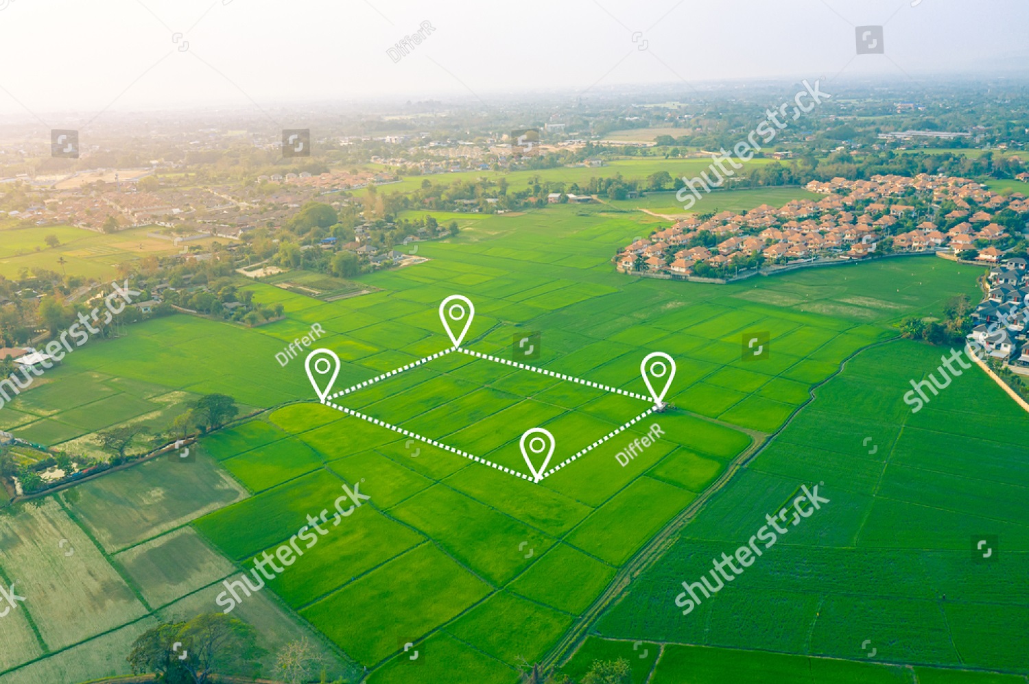
Our advanced drones, equipped with high-resolution cameras and LiDAR sensors, provide fast and precise surveying and mapping of mining sites. This data enables the creation of detailed 3D models, topographic maps, and contour maps, delivering critical insights for efficient site management and planning.
Harnessing the capabilities of drones, we meticulously capture data on stockpile volume and composition. This information is pivotal for enhancing inventory accuracy and optimizing resource allocation. Powered by AI-driven analytics, our team extracts invaluable insights into material quality and quantity, empowering mining operations with strategic decision-making capabilities.
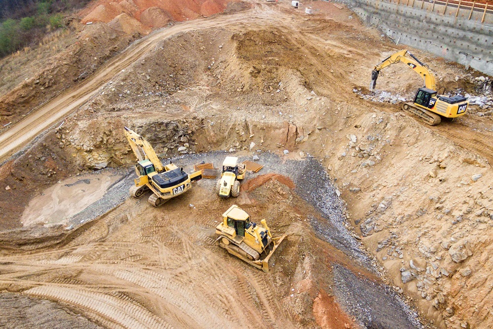
Utilizing drones, we conduct thorough safety inspections of mining sites, meticulously assessing potential hazards, inspecting equipment, and monitoring worker safety. Advanced AI analytics analyze this data, offering comprehensive insights into potential safety risks. This proactive approach ensures a secure working environment and enhances overall operational safety standards.
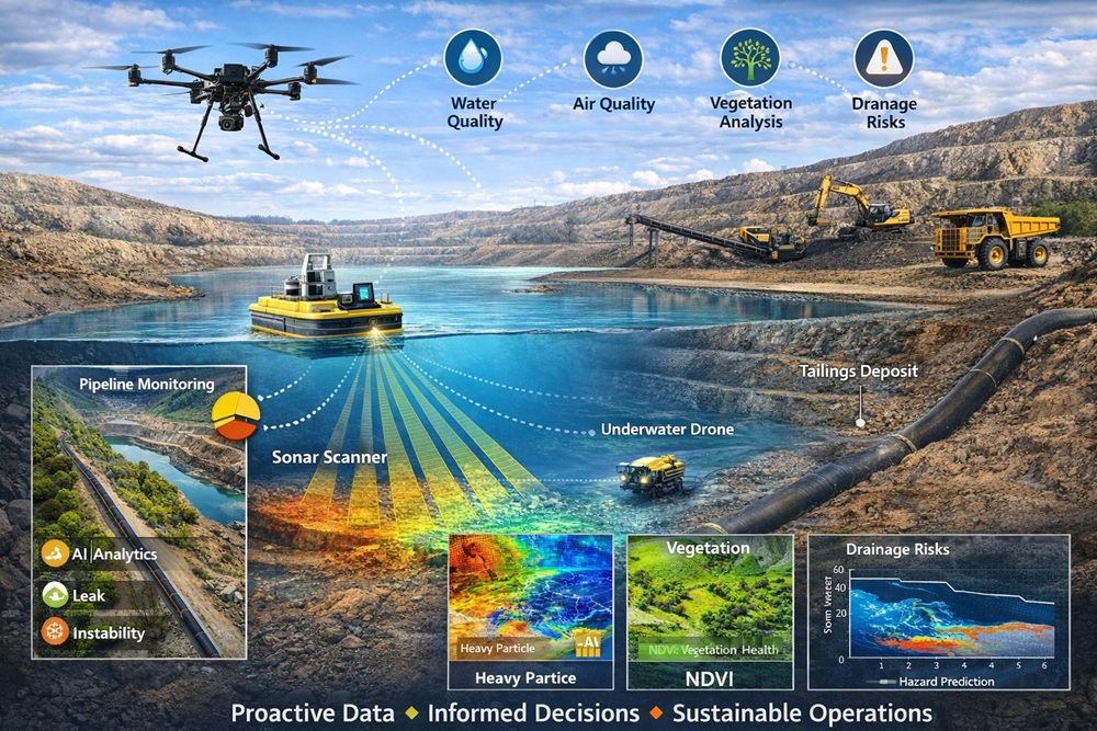
Our drone technology plays a crucial role in monitoring the environmental impacts of mining operations, including assessments of water and air quality, as well as vegetation cover. We employ cutting-edge AI analytics to meticulously analyze this data, offering actionable insights into the environmental footprint of mining activities. This enables proactive environmental management and sustainable practices for the future.
We also support rain readiness planning by identifying drainage risks and stormwater vulnerabilities ahead of heavy rainfall events, as well as pipeline monitoring to detect leaks, ground instability, and environmental impact along infrastructure corridors.
Proactive data. Informed decisions. Sustainable operations.
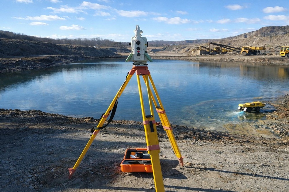
We provide precise bathymetric survey solutions using a remotely operated electric survey vessel to capture accurate depth data within tailings storage facilities and water bodies. Equipped with advanced GNSS positioning and echo sounder technology, the system delivers real-time depth and location information for reliable analysis.
Our surveys enable accurate volume calculations, stage–volume relationship assessments, and repeat monitoring to support effective water management, stability oversight, and informed operational planning across mining, municipal, industrial, and energy sectors.
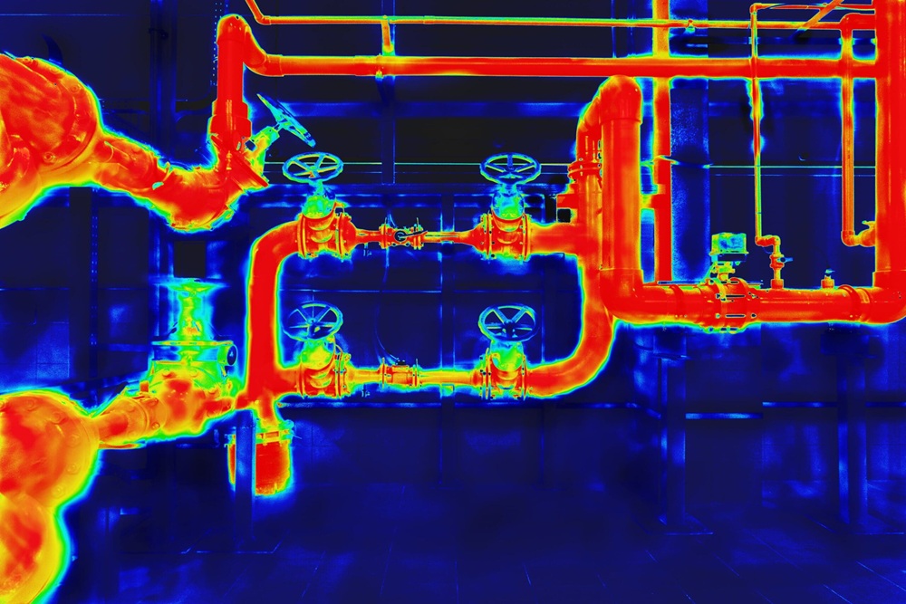
We assist to maximize safety and operational efficiency with advanced thermal surveys, by deploying state-of-the-art thermal imaging technology to detect hotspots, equipment anomalies, and potential hazards before they become critical. By providing real-time insights from above, we help coal mining operations monitor temperature variations, prevent downtime, and support proactive maintenance strategies.
Our Services Are Designed To Boost Efficiency, Cut Costs, And Elevate Safety And Environmental Sustainability Standards In Mining Operations. Reach Out to us To Discover How Our Advanced Drone Data, Analytics, And AI Solutions Can Transform Your Mine.